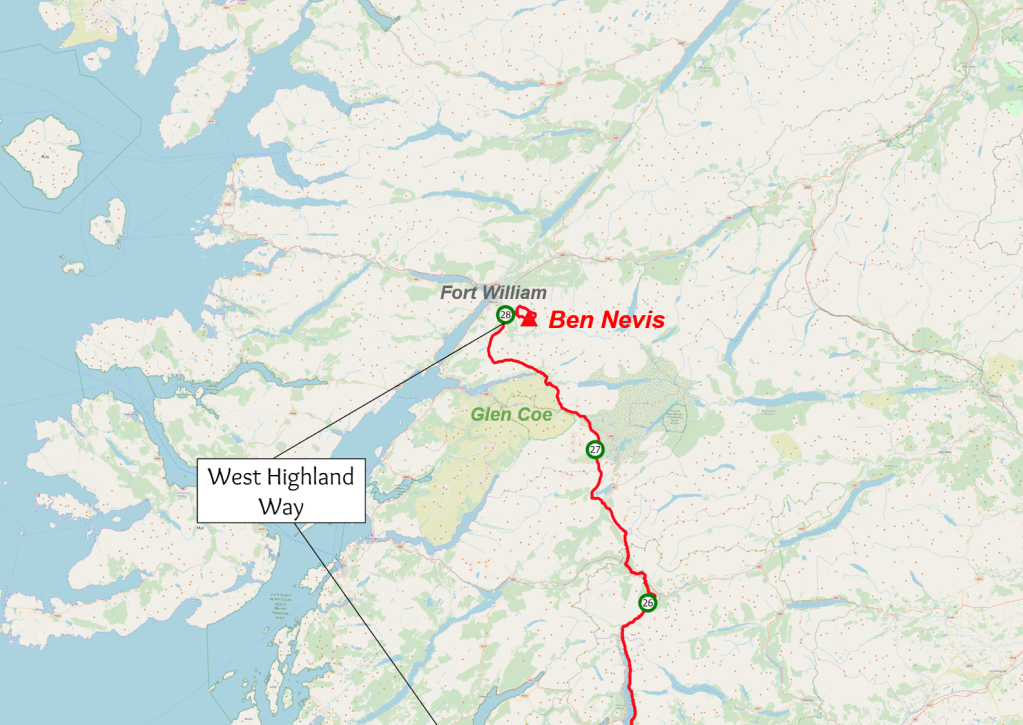
After spending the rest of the afternoon in bed, Steve took Zoë and me out for a pub supper at the Ben Nevis Inn. I was fuzzily tired. I ate till I was stuffed and regretted that I couldn’t manage more. The next day, my mum drove from a friend’s house where she had stayed near Edinburgh, picked me up from Fort William and drove me home to Sussex.
That’s ridiculous, isn’t it? I had spent a month trudging north across this island, going just about as fast as I could while carrying 20kg of kit most of the way. Then in one day I was whizzed back down almost to the South Coast. The road south from Fort William roughly matches the course of the West Highland Way. Every half an hour or so, I could watch a day’s hard walking zip past the window. After a few hours we pulled off the M74 into Happendon services, where Adam and I had stopped to refill our water bottles over a week before. My point, I suppose, is that cars are really, really fast.
When I got home, I put on shoes other than my walking boots for the first time in a month. This felt very strange. My feet appeared to have changed shape. It was at least two weeks before they felt normal again.
I eventually sat down to plot out the course I had taken, as I had deviated from my original plan many times, usually for the better, I hoped. The whole thing is shown below.


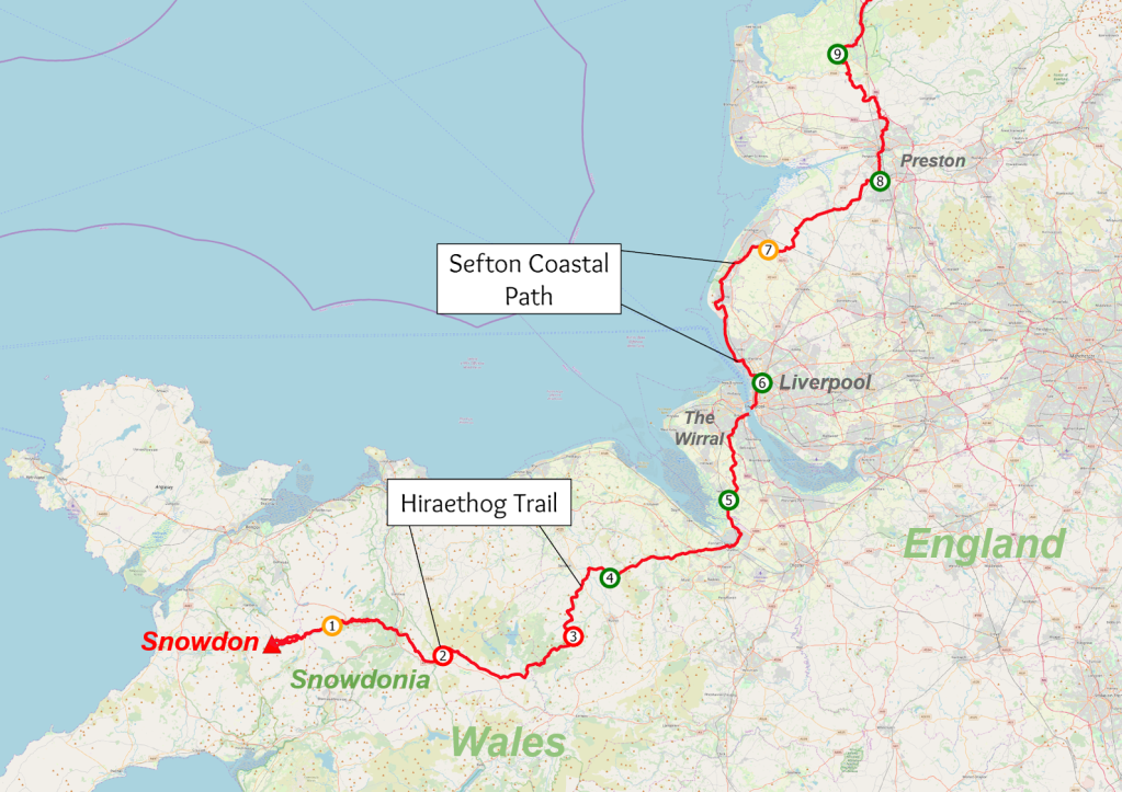
green – good; orange – fine; red – miserable
And now, what you’ve all been waiting for: some stats
Distances
| Day | Distance walked (km) | Comment |
|---|---|---|
| 1 | 17.5 | Summitted Snowdon |
| 2 | 24.0 | East through Snowdonia, joined the Hiraethog Trail |
| 3 | 29.9 | Through Clocaenog Forest |
| 4 | 19.1 | Finished the Hiraethog Trail |
| 5 | 31.2 | East through Flintshire, crossed into England |
| 6 | 22.9 | Through the Wirral with Tina and Piper, into Liverpool |
| 7 | 32.9 | Sefton Coastal path with Rhodri |
| 8 | 26.8 | Muddy Lancashire with Duncan and Ash |
| 9 | 31.2 | Preston and more mud with Ash |
| 10 | 30.0 | Along the Wyre Way with Adrian |
| 11 | 25.5 | Lancaster Canal Towpath |
| 12 | 23.2 | Into the Lake District, wild camp on Grandsire |
| 13 | 12.6 | Down to Ambleside |
| 14 | 20.9 | Includes 5km walk to Blea Tarn with Hugo |
| 15 | 19.6 | Summitted Scafell Pike with Hugo, Zoë, Steve & Murray |
| 16 | 29.9 | Down to Keswick with Hugo and Zoë, onwards alone |
| 17 | 37.0 | Long day to Carlisle along the Cumbria Way |
| 18 | 32.1 | Crossed into Scotland, few decent footpaths |
| 19 | 29.9 | North on quiet roads |
| 20 | 29.1 | Met Adam in Beattock, joined Southern Upland Way |
| 21 | 25.6 | Over Lowther Hills, left Southern Upland Way |
| 22 | 35.2 | North to Falls of Clyde, joined Clyde Walkway |
| 23 | 38.7 | Followed Clyde Walkway into Glasgow, left Adam |
| 24 | 25.4 | Kelvin Walkway to Milngavie, joined West Highland Way |
| 25 | 33.6 | West Highland Way to Loch Lomond |
| 26 | 32.4 | Along Loch Lomond shore, met Con at Inverarnan |
| 27 | 34.6 | Crianlarich to Rannoch Moor |
| 28 | 41.5 | Left Con at Kinlochleven, on to Glen Nevis |
| 29 | 15.6 | Summitted Ben Nevis with Zoë and Steve |
| Total | 807.9 | 502 miles! Total ascent: over 19,400m |
Sleeping arrangements
I was very lucky to have people offer to host me, and particularly to have the King family support me with their campervan through a sodden Lancashire. I still managed to do a decent amount of wild camping, though.
| Type of sleeping arrangement | Nights |
|---|---|
| Wild camp | 13 |
| Campsite – tent | 4 |
| Campsite – campervan | 4 |
| House | 3 |
| Hostel | 3 |
| Travelodge | 1 |
| Shed (much nicer than Travelodge) | 1 |
| Bivvy | 1 |
High points and low points
Since finishing, I have given lectures about my accident, recovery, and challenge to the University of Bristol Expeditions Society, the Southampton University Hillwalking Club (who I bumped into on Scafell Pike), and the Austrian Alpine Club (over Zoom), and one thing I was asked was what were my high and low points. Overall I feel the journey was as I hoped it would be – genuinely challenging, at times a bit grim, at times gruelling, but with some wonderful moments as well.
The high points that spring to mind are:
- Being taken out to dinner by the couple I met on the train the night before starting
- Skimming stones in the sun with the lads from Warwick I met on the way down Snowdon
- Meeting Paul, the most generous man in Wales, and being invited to stay in his shed
- Rhodri insisting that we spend the evening at his house in Liverpool drinking and watching films
- Getting to fulfil my childhood dream of sleeping in the bulge in the top of a campervan (I had modest dreams)
- Walking into the Lake District on a crisp, clear Autumn day and watching the sun set over Windermere and the central fells
- Inventing, and then winning, the game of Sticklebarn chess, and and enjoying folk music in the pub with Hugo
- Being given fruitcake by some nurses on Scafell Pike
- Singing with Zoë and Hugo while wild camping in the woods
- Getting lashed by the weather on the hills above the Daer Reservoir with Adam (I took a perverse enjoyment in this, though I didn’t enjoy getting into the tent once everything was sodden)
- Being given a carrier bag full of tea biscuits for some reason in Wanlockhead
- Seeing the unanticipated beauty of the Falls of Clyde
- Camping on my own beach on the shores of Loch Lomond
- Camping on Rannoch Moor with red deer roaring in the night
- Multiple instances of indulging in much-needed pub food
- Every time someone popped a donation in my pot – I wasn’t approaching people; they just did it of their own accord, which was lovely
And the low points:
- Being damp, sore, and lonely along the Hiraethog trail, and having to repeatedly haul myself, bag and all, over gates that shouldn’t have been locked.
- Feeling sick and exhausted in the Travelodge in Carlisle
- Trying to reach the Scottish border on terrible paths and getting increasingly frustrated with my slow progress
- The long, long trudge into Glasgow on feet that were already incredibly painful, arriving in the dark and the rain
- Struggling as the path along the side of Loch Lomond became rougher and rougher
- Trying to push myself on through the last quarter of the penultimate day, on to Glen Nevis
- General constant soreness throughout the second half of the walk as I had to increase my daily distance covered
Spinal Research
I haven’t said much in this blog about the fundraising side of this challenge, which has been remiss of me, since that was really at the heart of why I did this. It was the experience of being confined to a wheelchair for just a few weeks that opened my eyes to how incredibly difficult the life of sufferers from spinal injury must be, and that was the initial impetus to try to come up with a fundraising challenge.
The purpose of Spinal Research is to fund medical research to develop effective treatments for paralysis. Here are a few headline stats from their website:
- Every day, three people in the UK and Ireland are told they will never walk again
- Over 50,000 people in the UK and Ireland are paralysed due to spinal cord injury
- More than 2.5 million people worldwide live with paralysis caused by spinal cord injury
I would like to ask you, if you’ve had the patience to read through this entire, long-winded blog, to spend a few minutes contemplating the implications of what being told you would never walk again would mean for you – of having possibly the most fundamental part of your freedom and autonomy wrested away from you, with no hope of getting it back. Try to imagine not just the practical difficulties, but how it would make you feel, about yourself, your life, your relationships with loved ones and your interactions with strangers, how you would see yourself and how other people would see you. Is a big part of your life is being a provider or a protector, as a parent or a partner? What happens when that goes? How important is it to your sense of self-worth?
My own reflections, back in the early days of my recovery, had me wondering about identity. I want to see myself as an adventurous person, but what if I was completely unable to do anything adventurous ever again? Would I cling onto my own belief of who I was on the inside? Or would I become whatever people saw me to be?
I thought about friendships too. Many of my closest friends are people I go hiking with, and I’m sure lots of people have specific activities they do with friends, and this is what nourishes the friendship. It’s normal that sometimes you miss out on things, and the next time you see your mates you’ve got to get up to speed with the new running joke, or the incident they keep referring to. What if you miss everything, though, because your body no longer lets you do it? You might start to feel like you are drifting away, and maybe becoming less important to them. It would be nobody’s fault. Nobody would want to exclude you. It’s just that sometimes you had to have been there.
Before my accident, if I had thought about what it would be like to lose the use of my legs, I would probably have thought, “I guess I would read a lot and take up painting.” I now think (still writing as someone who was lucky enough not to have it happen) that it would engulf your whole life, your whole self, your whole universe and how you relate to everyone in it. That is why I chose to support a charity whose aim is to change that.
I set up a page on Justgiving a month or two before starting the challenge, and shared it with my friends and family, who were generous and supportive. This was my first time doing something like this, and I had little idea about promotion or fundraising targets. I plucked a target of £1000 out of the air, and after quickly passing that, raised it to £5000. As I walked, I tried to post regular progress updates, and it was great to receive messages of support.
Once all the donations were in after completing the challenge, I had raised nearly £6000, and Spinal Research sent me a certificate which is now my proudest possession. My justgiving page is still live and can be found at: https://www.justgiving.com/fundraising/backontrack3peaks
If you have enjoyed reading about this journey, it would be amazing if you could donate to this cause 🙂

This blog
I want to thank everyone who has read this. When I started, I thought a handful of friends might read it, but it has been really cool looking at WordPress’ statistics page and seeing that people from all over the world have found their way here. I hope you have enjoyed it, and possibly found it a nice diversion from the pandemic. I have definitely enjoyed writing it.
If you have any questions about any aspect of the walk, or planning a challenge, hiking, camping, or climbing in general, or injury, or anything really, please feel free to leave a comment or drop me an email at alasdair.wj.robertson@gmail.com
I also have a sometimes-used instagram profile on which I have posted nature facts, shakey attempts at painting birds, blurry videos of birds, and an attempt to play the ukulele in a tent. Goals for next year include getting a camera and learning how to use it properly. The profile is @alasdair.wj.robertson
My plan is to keep using this blog for reports on other adventures I have had or will have in the future, though I won’t stretch them out quite so long! I might also post about birdwatching or nature in general, or anything I can think of – who knows? Feel free either to stay tuned or use this as a convenient opportunity to jump ship.
For now, goodnight, and joy be to you all.

On the train to Wales 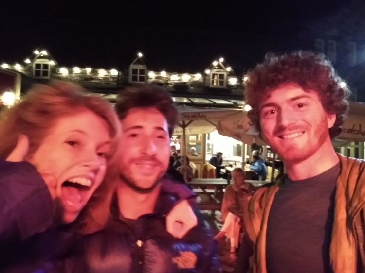
Treated to dinner by Natalie and Jonny, whom I met on the train 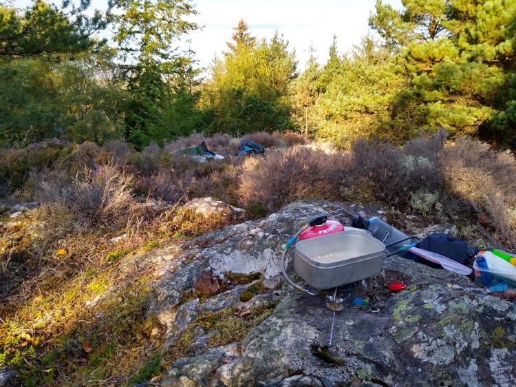
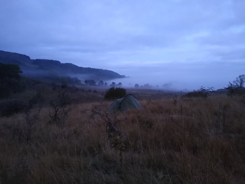
Bivvy above Betws-y-coed 
Summit of Snowdon 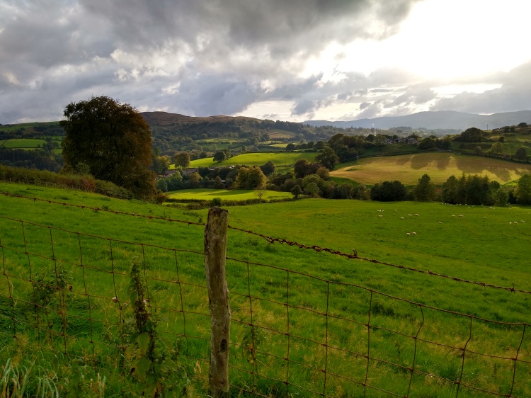
Rolling Welsh countryside 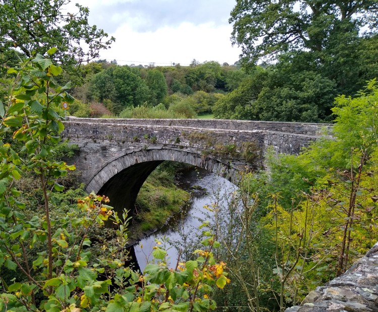
Stone bridge at Llanfihangel Glyn Myfyr 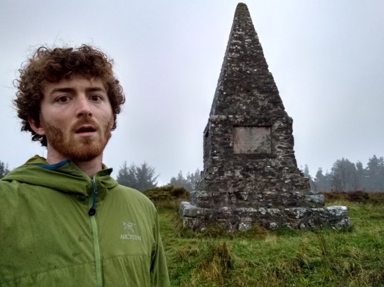
Monument in Clocaenog Forest 
Paul 
Following Piper through the Wirral 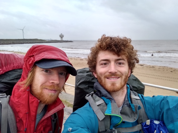
With Rhodri on the Sefton Coastal Path 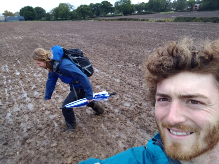
A muddy field outside Preston with Ashley 
The Lancaster Canal 
A break in the foothills of the Lake District 
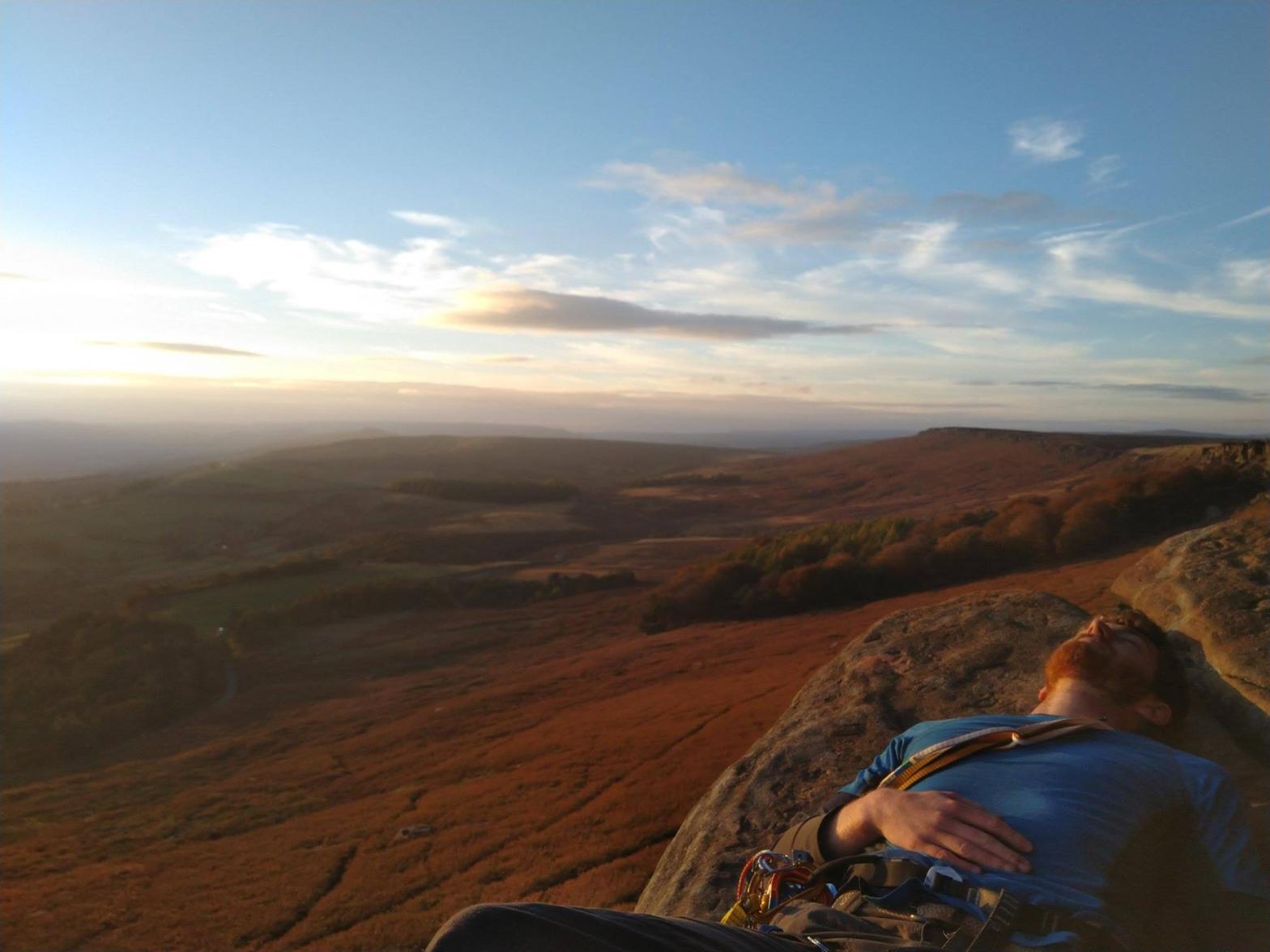
Sunset over Windermere and the Central Fells 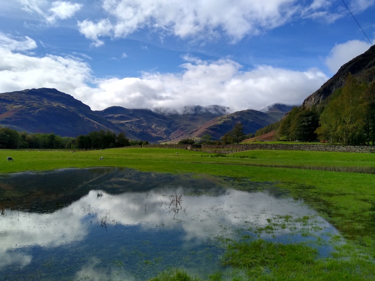
Great Langdale 
On the summit of Scafell Pike 
Emerging from the Northern Fells 
Bridge over the River Caldew 
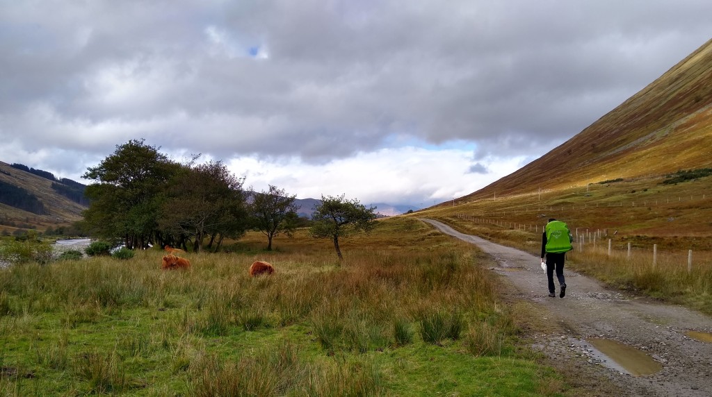
A sample of cows 
Adam on the Lowther Hills 
The Falls of Clyde with Adam 
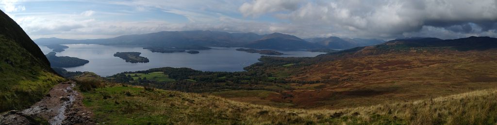
Loch Lomond 
Bridge of Orchy with Con 
The Great Pass 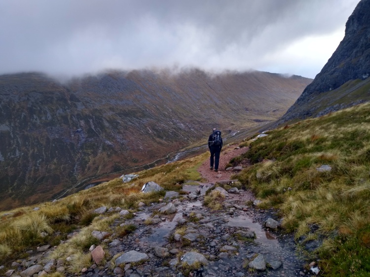
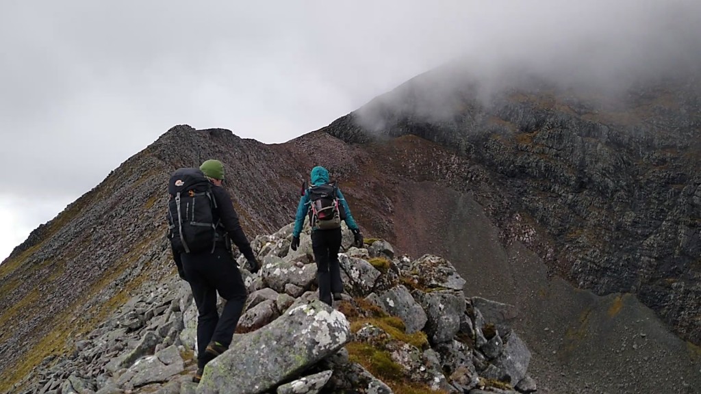
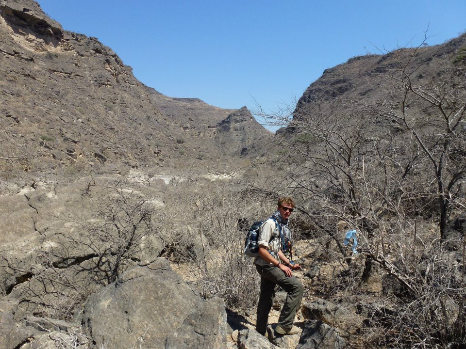
Steve contouring round the northern side of Ben Nevis 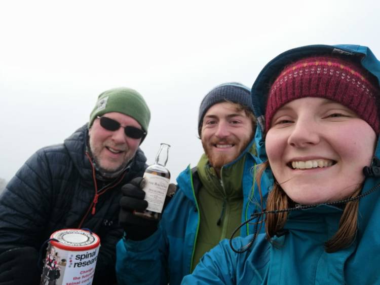
With Steve and Zoë on the summit of Ben Nevis